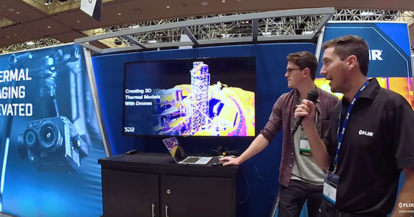
Creating Value through Drone-based Thermal Imaging and GIS
Drone technologies are enabling more users to cost-effectively utilize aerial remote sensing. When combined with advanced payload systems and dedicated software; data is producing industry-altering results. From construction to energy, deliverables from FLIR thermal imaging sensors collected and analyzed with Measure's processing and analysis tools are leading the use of drones into the next frontier. This webinar will provide background on how other industries are deriving the most value from remote aerial imaging, and how with FLIR and Measure, you can easily access tap into these benefits yourself.