Webinar: Mapping Extensive Areas with Thermal Drones
This webinar walks you through key considerations when conducting mapping missions with thermal drones. Topics include:
- What is thermal and why use it?
- Resolution and altitude
- When to use Qualitative v. Quantitative
- Emissivity and temperature accuracy
- Pixels on target
- Benefits of EO/IR
- General best practices
Learn how to recognize factors that may inhibit your mission or present challenges that can be overcome with the right approach. For more about FLIR UAS programs: www.flir.com/suas
Related Articles
-
 Application Story
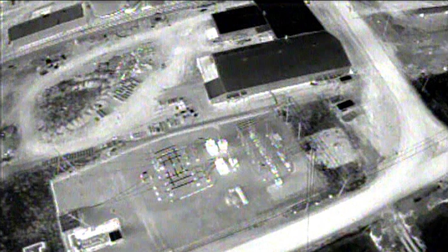
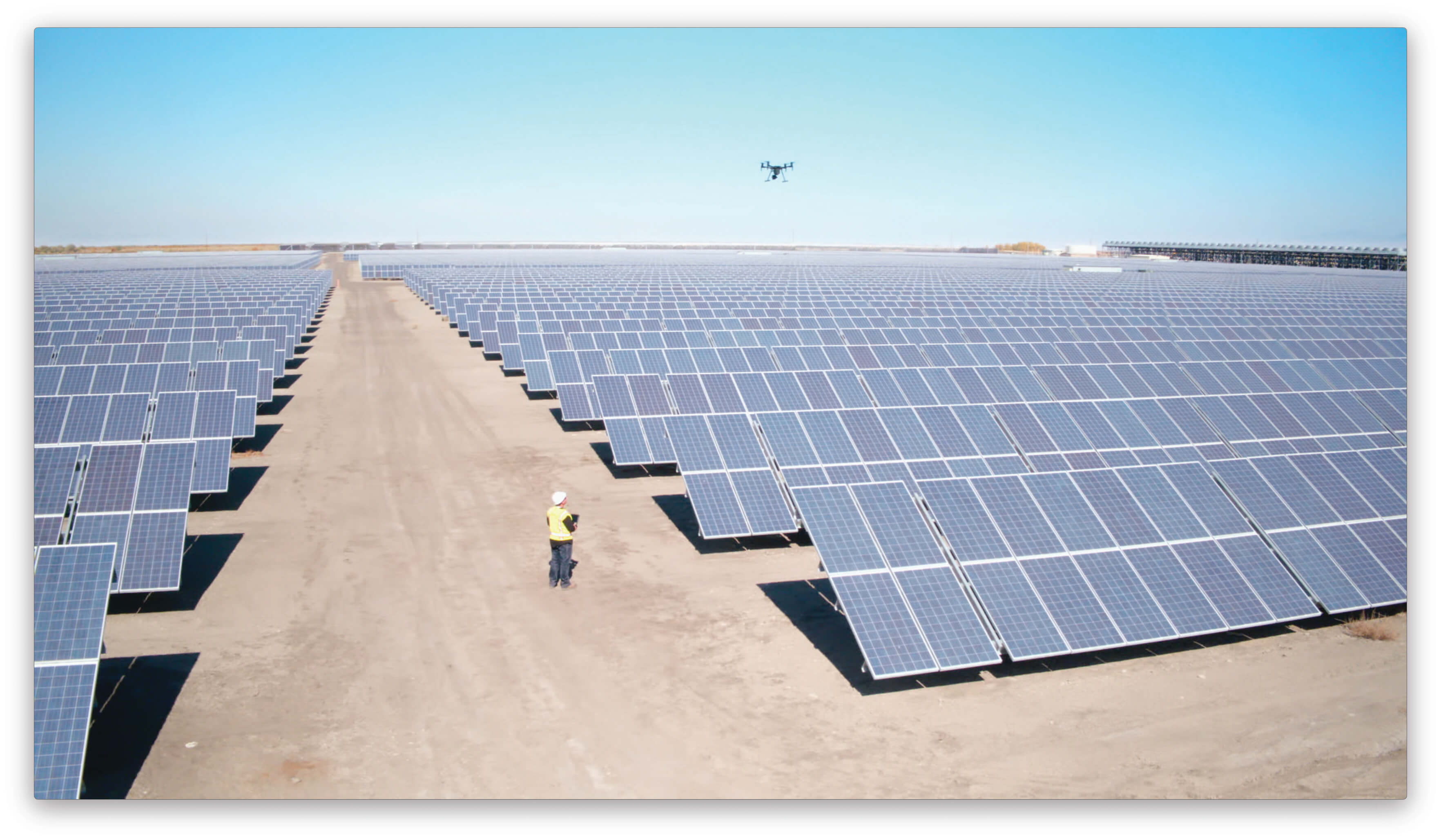
UAS Solar Farm Inspection
Read the story -
 Fundamentals
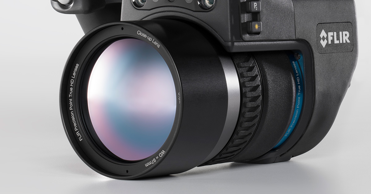
What Are IR Camera Lenses Made Of?
Learn more -
 Choosing a Camera
FLIR Enhanced Dust Control Service for Machine Vision Cameras
Learn more